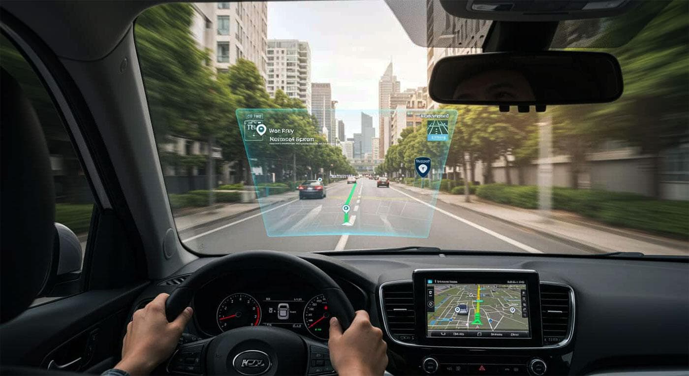
Rapid urbanization and the continuous growth of smart cities have significantly transformed the way people interact with urban environments. Modern cities generate large amounts of dynamic information related to transportation, tourism, public services, and social activities, creating new challenges for efficient urban navigation. In recent years, multimedia technologies have become an essential component of mobile applications designed for smart mobility and personalized travel planning. Interactive maps, geolocation systems, augmented reality, multimedia interfaces, and artificial intelligence have considerably improved the accessibility and usability of navigation services. Smart tourism ecosystems rely on intelligent multimedia systems that integrate heterogeneous urban data and deliver adaptive user experiences.
Background and Related Work
The development of multimedia computing technologies has considerably influenced modern smart mobility systems and urban navigation platforms. Early navigation applications mainly focused on static cartographic visualization and route generation, while contemporary systems increasingly incorporate multimedia interaction, real-time communication, and personalized recommendation mechanisms. Smart tourism research has also emphasized the importance of contextual urban services that adapt to user preferences and environmental conditions. In parallel, advances in mobile computing, cloud technologies, and artificial intelligence have enabled the emergence of intelligent navigation ecosystems integrating transportation, tourism, and multimedia information services. Current smart city initiatives additionally promote interoperability between urban infrastructures and mobile applications through standardized digital platforms and open urban data models.
Several widely used navigation and travel planning applications demonstrate the practical implementation of multimedia technologies in urban environments:
- Google Maps
- Citymapper
- TripAdvisor
- Waze
These applications integrate multimedia features such as interactive maps, voice-guided navigation, real-time traffic visualization, image-based location information, and personalized recommendations. Modern navigation systems increasingly rely on real-time urban analytics and adaptive route-planning mechanisms to improve mobility efficiency and the user experience.
Integration with Smart City Infrastructure
The integration of multimedia navigation applications with smart city infrastructure represents one of the most important aspects of modern urban mobility systems. Smart cities increasingly rely on interconnected digital ecosystems composed of IoT sensors, transportation monitoring systems, environmental data platforms, and real-time communication networks. These infrastructures generate large volumes of contextual information that can significantly improve multimedia-based urban navigation services. Cloud and edge computing technologies enable efficient processing and distribution of real-time multimedia data on traffic conditions, public transportation availability, pedestrian flows, and environmental monitoring. As a result, navigation applications can dynamically adapt routes and recommendations according to changing urban conditions.
An important example of smart city interoperability initiatives is CitySDK, which focuses on integrating and standardizing urban digital services across European smart city environments, with particular emphasis on Italian implementations. The CitySDK initiative promotes the development of open urban APIs that facilitate access to contextual city information, mobility data, tourism services, and civic participation platforms. In Italy, CitySDK supports interoperability between heterogeneous urban systems, allowing multimedia applications to access standardized transportation, geolocation, and public service information. This approach enables the creation of intelligent multimedia navigation systems that deliver adaptive recommendations and personalized assistance for travel in Italy, based on real-time urban data. The platform also contributes to integrating tourism-oriented services with transportation infrastructure and smart governance solutions. Consequently, CitySDK demonstrates how standardized urban data exchange can improve multimedia interaction and support the development of more intelligent smart tourism ecosystems. The Italian experience demonstrates that interoperability between multimedia applications and smart-city infrastructures is essential to the future evolution of intelligent urban mobility systems and personalized tourism services.

Multimedia Technologies in Urban Navigation
Urban navigation systems have evolved from simple static mapping tools into complex multimedia platforms capable of supporting immersive and context-aware interaction. Modern smart city applications increasingly combine visual, audio, and interactive multimedia technologies to improve user orientation and accessibility within urban environments. Multimodal interfaces facilitate more intuitive interaction between users and digital urban services.
Interactive Maps
Unlike traditional static cartographic systems, interactive maps provide dynamic visualization of urban environments and continuously adapt to real-time conditions. Modern mapping platforms integrate GPS technologies, cloud synchronization, and real-time traffic monitoring to improve route optimization and mobility efficiency. Public transportation overlays also allow users to access information on buses, trains, metro systems, and shared mobility services through a unified interface. Multimedia-enhanced maps also support heatmaps, traffic-density visualizations, and geospatial analytics to help users better understand urban mobility patterns.
User-generated content, including photographs, reviews, and location tags, further enriches the navigation experience and contributes to contextual urban interaction. Adaptive routing algorithms dynamically adjust suggested routes in response to traffic congestion, weather conditions, accidents, or public transportation delays. In smart tourism applications, interactive maps frequently incorporate multimedia information related to landmarks, cultural attractions, and nearby services.
Audio and Voice Interfaces
Audio and voice interfaces have become increasingly important components of multimedia navigation systems. Voice-guided navigation allows users to receive real-time instructions without constantly interacting with mobile screens, thereby improving safety and convenience while moving.
Such interfaces are particularly beneficial for drivers, cyclists, and pedestrians operating in complex urban environments where visual attention may be limited. Voice technologies also improve accessibility for visually impaired users by providing contextual audio guidance and spatial orientation assistance. Multilingual support represents another significant advantage, especially within smart tourism applications serving international visitors. Modern intelligent voice assistants increasingly integrate contextual awareness and adapt recommendations based on user location, mobility patterns, and travel preferences.
Video and Image-Based Navigation
Video and image-based navigation technologies provide additional layers of contextual understanding within urban environments. These systems rely on computer vision techniques, image recognition algorithms, and multimedia processing to assist users in spatial orientation and route identification. Landmark recognition technologies are particularly valuable in densely populated urban areas where conventional textual navigation instructions may be insufficient. Multimedia route explanations supported by videos and panoramic imagery additionally provide more immersive representations of urban spaces. Examples of image-based navigation support include:
- landmark visualization;
- panoramic route previews;
- QR-based location support;
- image-assisted orientation systems.
These multimedia techniques contribute to more intuitive interaction between users and digital navigation systems. Computer vision technologies additionally support indoor navigation within airports, shopping centers, museums, and transportation hubs where GPS signals may be unreliable.
Augmented Reality Navigation
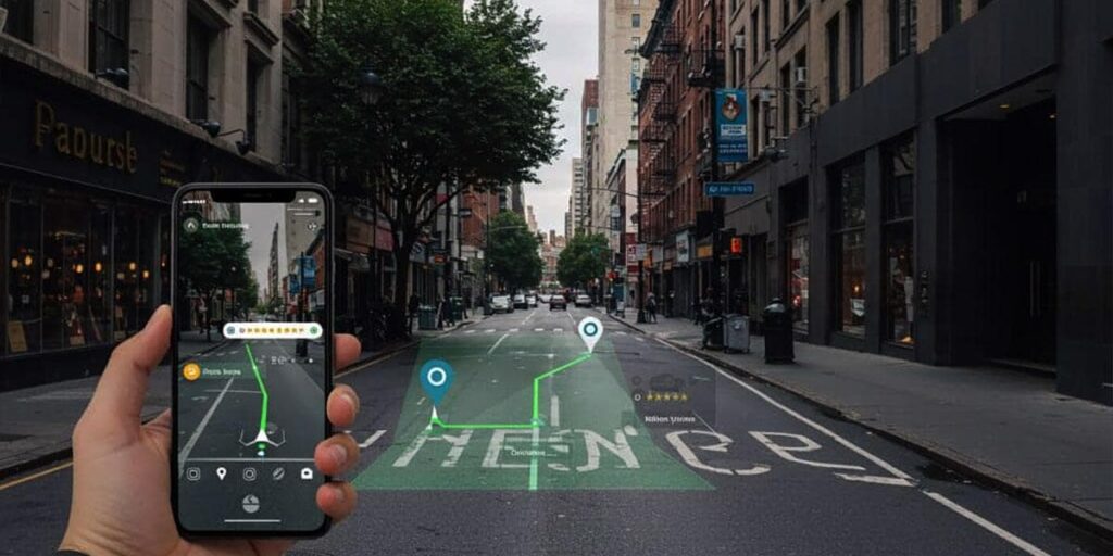
Augmented reality technologies are rapidly transforming the field of urban navigation and smart tourism. AR-based navigation systems overlay digital directional information directly onto real-world environments, creating more immersive and intuitive user experiences. Unlike conventional navigation interfaces, augmented reality reduces cognitive load by integrating route instructions into the user’s physical surroundings. Mobile AR applications can display arrows, location markers, transportation information, and contextual tourist content directly through smartphone cameras or wearable devices. Smart glasses and wearable navigation systems additionally expand the possibilities of hands-free urban interaction. In tourism applications, augmented reality enables interactive exploration of historical landmarks, museums, and cultural attractions through multimedia-enhanced storytelling and contextual visualization.
Conclusion
Multimedia technologies have significantly transformed modern urban navigation and personalized travel planning systems within smart city environments. The integration of intelligent multimedia interaction, AI-driven personalization, and interoperable smart-city infrastructure improves both urban mobility and tourism experiences. Initiatives such as CitySDK Italy demonstrate the importance of standardized urban data ecosystems for the development of adaptive multimedia navigation services. Future smart cities will increasingly rely on intelligent multimedia platforms capable of delivering immersive, context-aware, and highly personalized urban experiences.